Sikeresen feliratkozott a hirlevelünkre!
 robert@gida.hu
 robert@gida.hu


We not only use, but we also deal with the distribution of scanners and software.
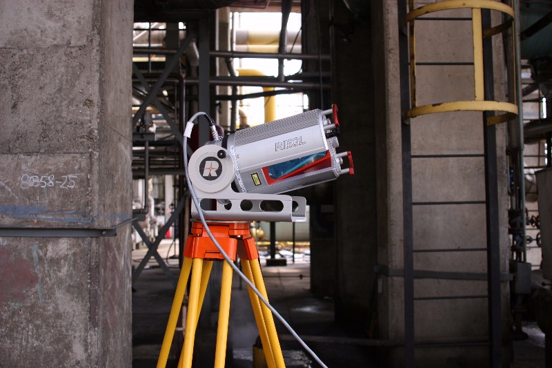
Riegl laser scanner: With more than 30 years of experience in the research, development and production of laser scanners, rangefinders and distance meters RIEGL delivers proven innovations in 3D. RIEGL terrestrial laser scanners provide detailed and highly accurate 3D data rapidly and efficiently. Applications are wide ranging, including topography, mining, as-built surveying, architecture, archaeology, monitoring, civil engineering and city modeling.
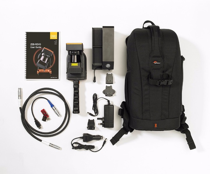
GeoSLAM laser scanner: Mobile laser scanner, lightweight revolving laser scanner. Handheld, pole-mounted or attached onto your chosen mobile platform such as a vehicle or UAV (unmanned aerial vehicle) and pass through your target survey environment to record more than 40,000 measurement points per second. Fast. Simple. Mobile. Reliable.
Bentley Systems software: At its core, Bentley Systems is a software development company that supports the professional needs of those responsible for creating and managing the world’s infrastructure, including roadways, bridges, airports, skyscrapers, industrial and power plants as well as utility networks. Bentley delivers solutions for the entire lifecycle of the infrastructure asset, tailored to the needs of various professions -engineers, architects, planners, contractors, fabricators, IT managers, operators and maintenance engineers – who will work on and work with that asset over its lifetime.
OCUPLAN DIVISION OF BURKEN LTD
1037 Budapest, Bokor str. 10, Hungary
+36 1 415 0220
3d@ocuplan.com